

UNDP
Providing Access to Energy with UNDP
United Nations Development Programme (UNDP), through its flagship project, Climate Promise, has been supporting the enhancement and implementation of NDCs in over 120 countries. UNDP provides direct support to climate change mitigation and adaptation in over 110 countries, including support to catalyze mini-grids in over 20 countries on the African continent through the Africa Minigrid Programme. UNDP and Datatonic partnered to develop a Proof of Concept of how data on potential solar cells created with satellite imagery and ML can be useful in the regions most in need.
Our impact
Making the world a better place
Enabled UNDP to improve planning of energy infrastructure on its mission to provide access to millions of people
Developed a Proof of Concept algorithm to detect solar energy assets using satellite imagery in geographic areas with less data and different characteristics from high-income countries
Contributed open source code and process learnings in an open space for replication and reuse
The Challenge
Navigating electricity infrastructure
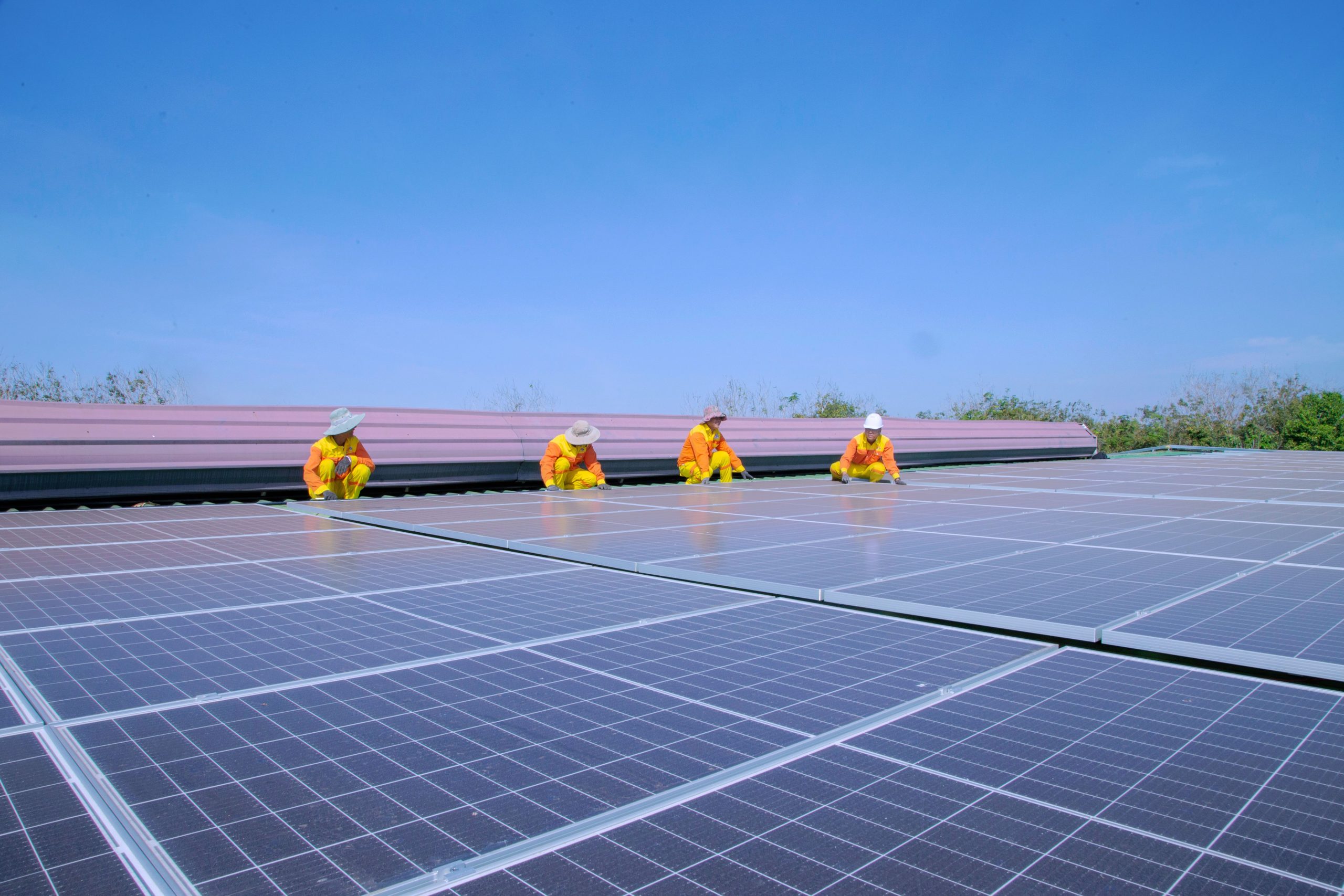
A mini-grid, also known as a micro-grid or isolated grid, represents an off-grid system that involves small-scale electricity generation ranging from ~10 kW to 10 MW, serving a limited number of consumers through a distribution grid capable of functioning independently from national electricity transmission networks. Essentially, a mini-grid comprises interconnected small-scale electricity generators linked to a distribution network that supplies power to a localised group of households, operating autonomously from the national transmission grid.
While inventories of large solar cell farms worldwide have been successfully compiled through similar efforts, and studies have showcased the feasibility of implementing small solar grids within European cities, work has yet to be undertaken on the African continent. The European models were not directly usable for two main reasons: it was built on high-resolution imagery from plane flyovers, and the context of the images was significantly different.
To address these challenges, we aimed to adapt these models to the African context and use transfer learning to train models initially created with high-resolution aerial imagery to work with lower-resolution satellite imagery, which is the most readily available and scalable option for Africa.
Our Solution
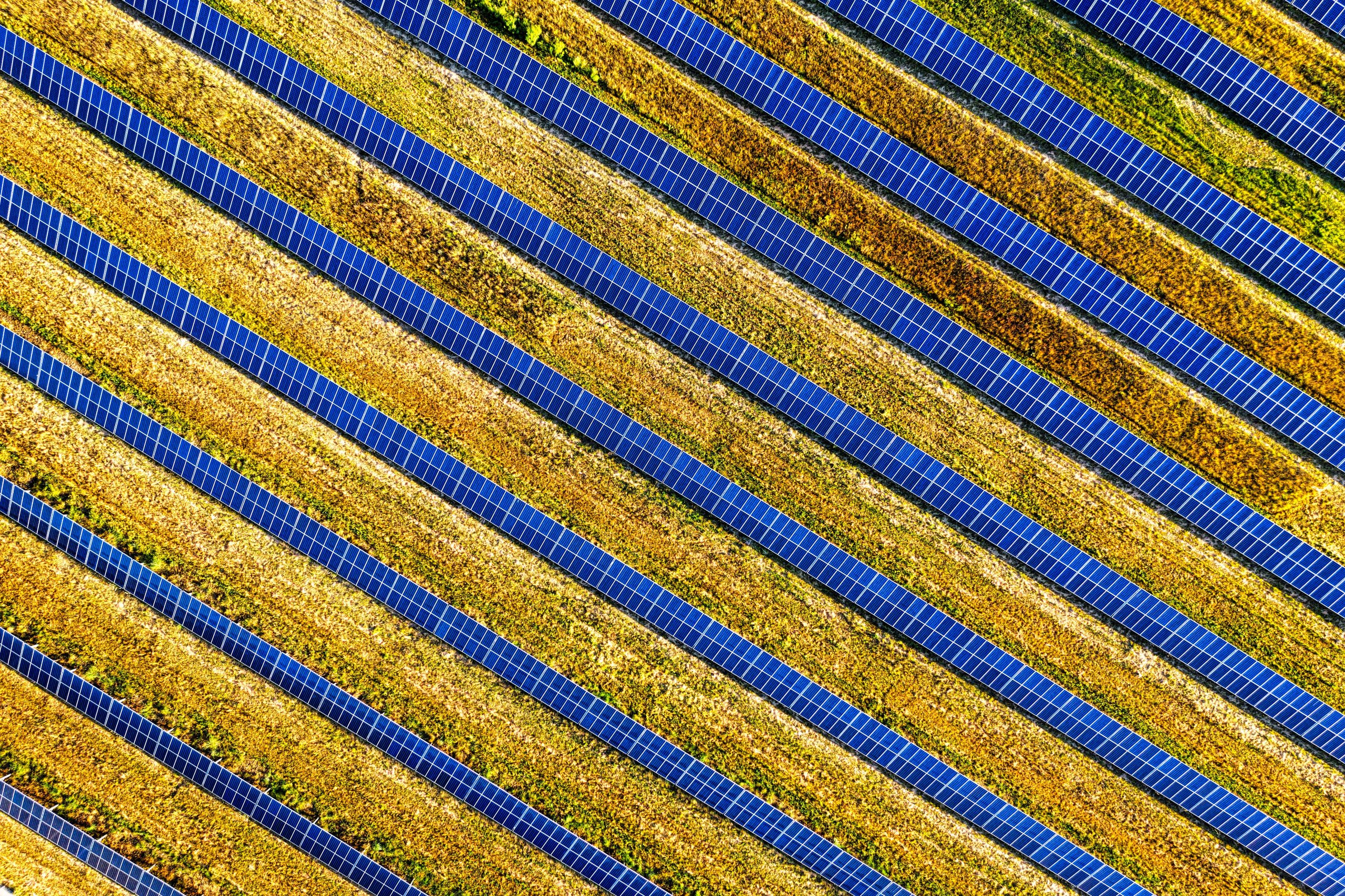
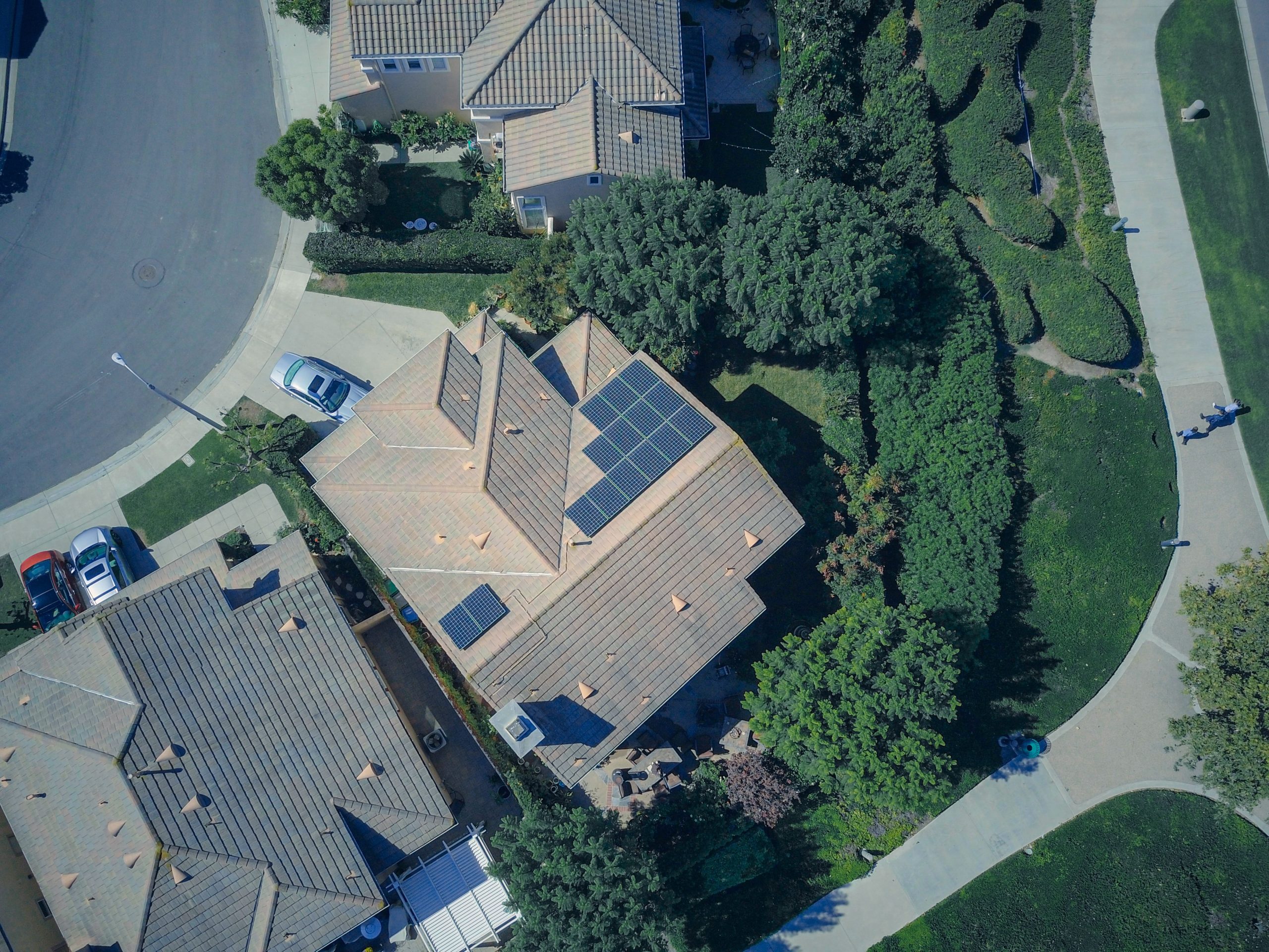
The first step in this endeavour is to evaluate the feasibility of such a project and learn as much as possible on a small scale. To accomplish this, an initial Proof-of-Concept (PoC) solution was developed, involving the creation of a machine learning classification model capable of identifying solar installations, including both mini-grids and solar farms, by analysing satellite imagery.
This preliminary phase serves to assess the viability of the project while also aiding in the identification of potential challenges or areas that require further analysis.
UNDP obtained access to a substantial collection of over 40,000 satellite images (50GB in size) through its G-EGD partnership with the US State Department.
Pre-processed the images to improve training accuracy, and applied several techniques, including splitting, filtering, and pan-sharpening.
Implemented a labelling platform utilising two open-source tools: CVAT and FiftyOne, and deployed the platform on Google Cloud.
Empowering with AI
Related case studies
-
 Agency
Creative Transformation with AI
-
 Financial Services + Insurance
Transforming Underwriting with Hiscox and Datatonic
-
 Retail
Old Data, New Tricks
-
 Telecommunications
BT Group Unveils AI Accelerator to Shorten Rollout of New AI from Six Months to Six Days
-
 Gaming
Automating Content Creation for Pioneering AR Games with HVNT
-
 Telecommunications
Unlocking Inmarsat’s Data Potential with Innovative Aircraft Matching